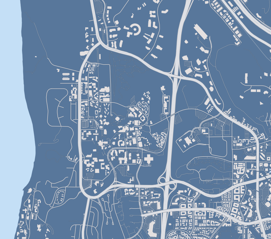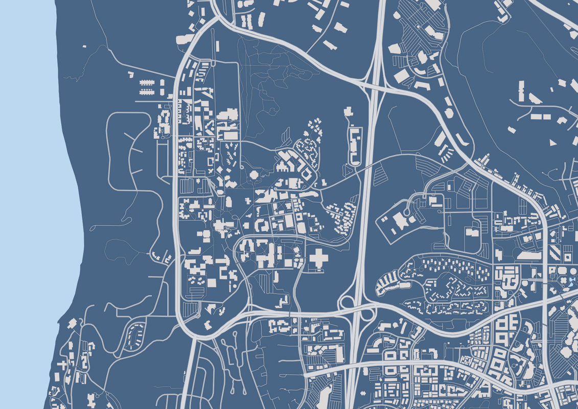
Open Street Maps blows me away every time I dive into the data set.
At first it blew me away with its intensity of available parameters.
Now it blows me away at how great it is to edit, and access the data.
I noted about a year ago that the apartment buildings that I reside in was not in the data set.
So I set forth and decided to add them from the imagery and looking up the campus map.
I did most of the grunt work in JOSM.
While I am inexperienced in GIS, it was a pleasure to work with JOSM.
I also added the Mayer hall addition and new structural engineering building to the map to improve the map as well.

Both of the images were generated with TileMill. While slow on my old mac, it is also quite nice to work with. There is a bunch more data that I am not showing in these plots and highlighting the building and roadways which I will be using when I get to looking at my GPS data.